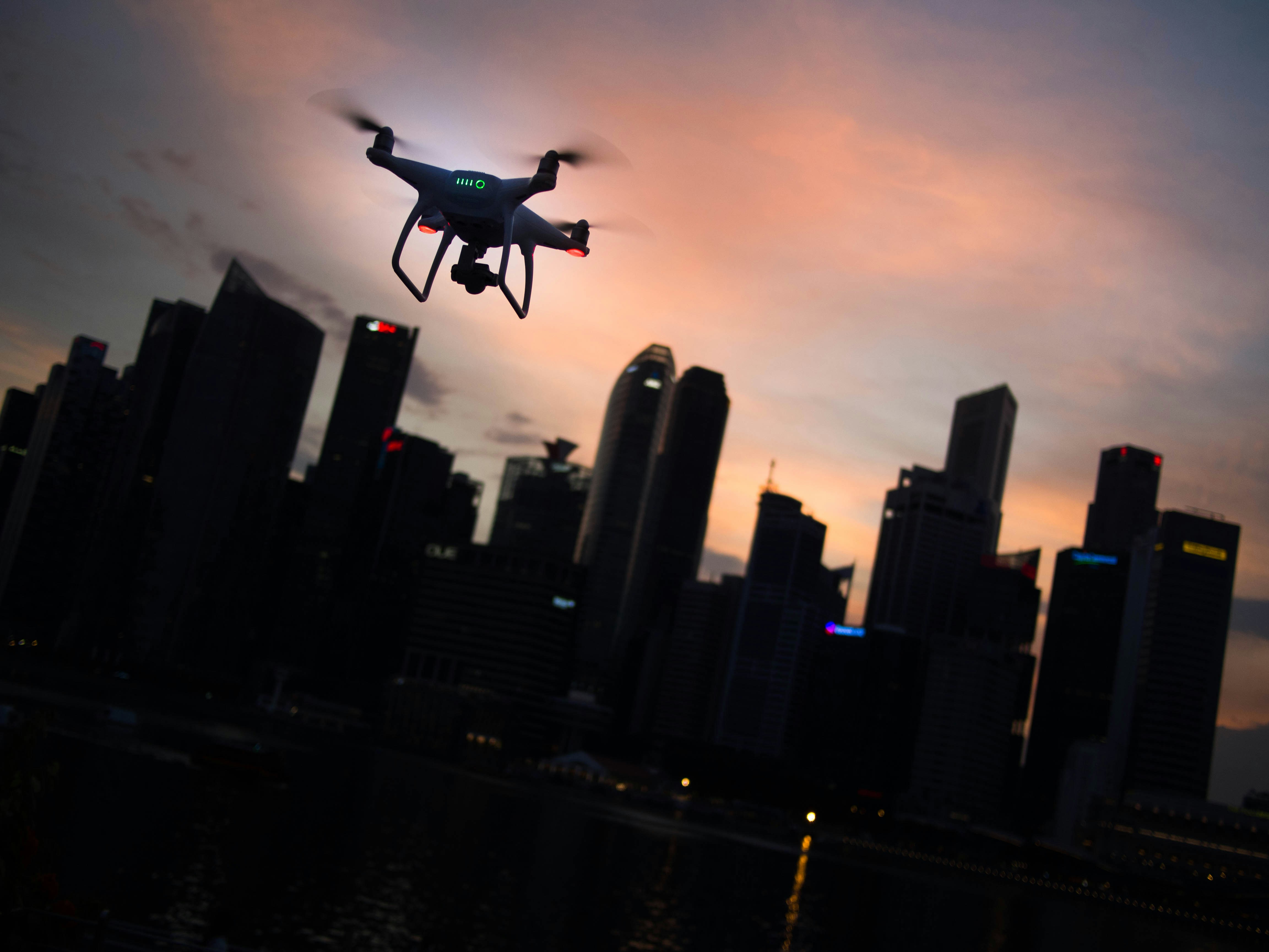
Rise Above
the Ordinary
There's a drone for that.
Professional aerial photography and videography for real estate, construction, agriculture, and marketing, captured by a certified, insured drone pilot who knows the ground beneath every flight.
Aerial imaging for every kind of project
One certified pilot, professional-grade equipment, and a clear deliverable every time, whatever the job calls for.
Real Estate
Listing photos and cinematic video that show the full story of a property: the lot, the setting, the architecture buyers can't see from the curb.
Inspections
Close-up imagery of roofs, towers, solar arrays, and hard-to-reach structures, a dated visual record without putting anyone on a ladder.
Agriculture
Crop health, irrigation, and stand counts from above. A faster, cheaper look at your land than walking every row.
Construction Progress
Matched-perspective progress documentation across the life of a build: clean, sequenced records for owners, lenders, and stakeholder reports.
Advertising & Marketing
Scroll-stopping aerial content for ads, reels, and brand campaigns. The production value that used to take a helicopter.
Events & Sports
Live-action aerial coverage of complexes, courses, and outdoor events. Panoramas and crowd energy for recaps and sponsors.
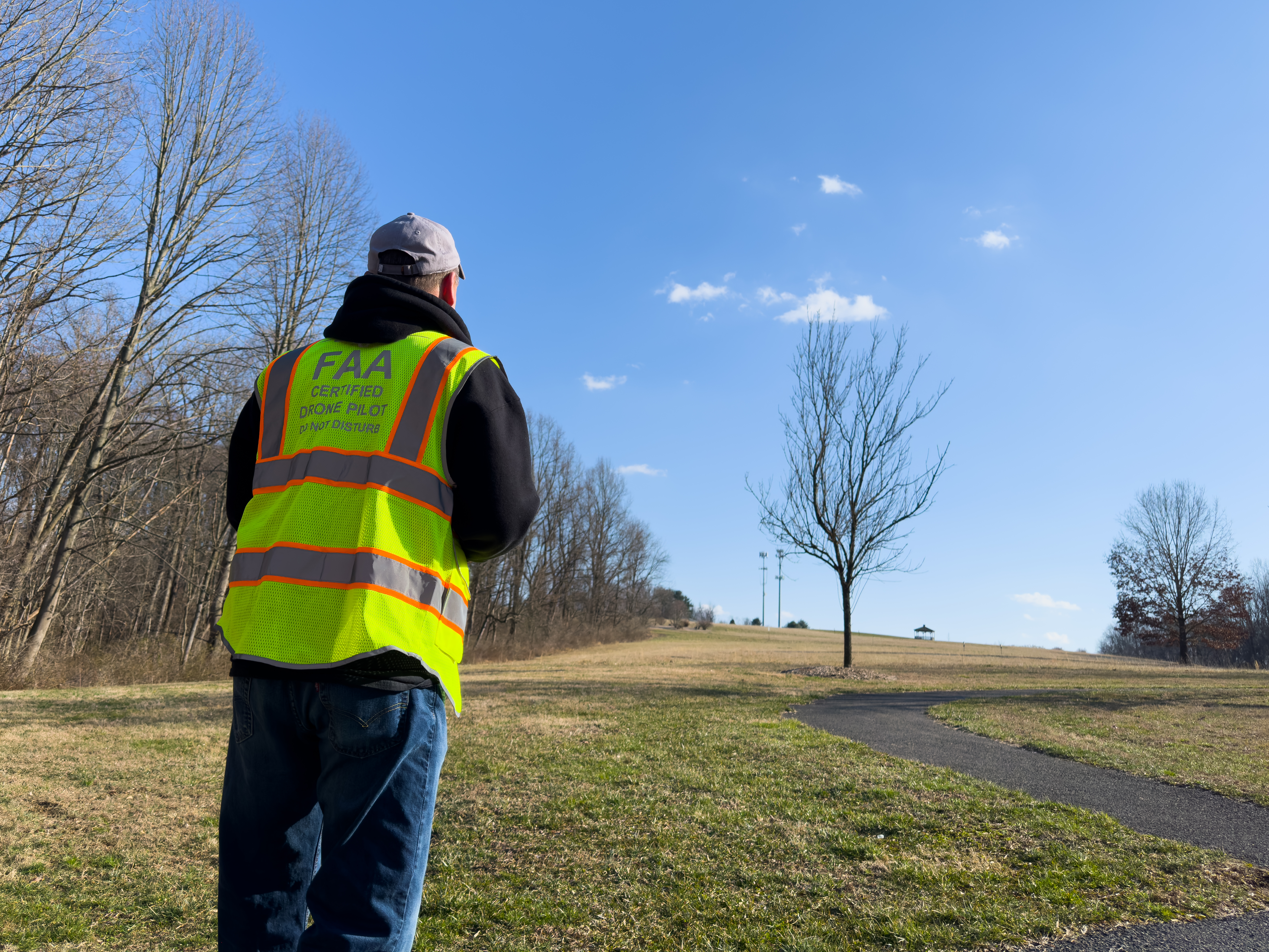
Certified. Local. Insured.
Every flight is operated by an FAA Part 107 pilot and backed by $1M in commercial liability insurance, the combination that lets your imagery hold up legally and look the part.
Certified & Insured
Part 107 certified and carrying $1M commercial liability. Certificate of Insurance available for your GC on request.
Locally Owned
Based in southern Chester County. We know the towns, the terrain, and the airspace we're flying in.
Quick Turnaround
Edited, delivery-ready files via secure download. Most single-session jobs back within a week.
Built to Perform
We're not just capturing images. We're capturing value. Imagery that sells the listing, settles the dispute, proves the progress.
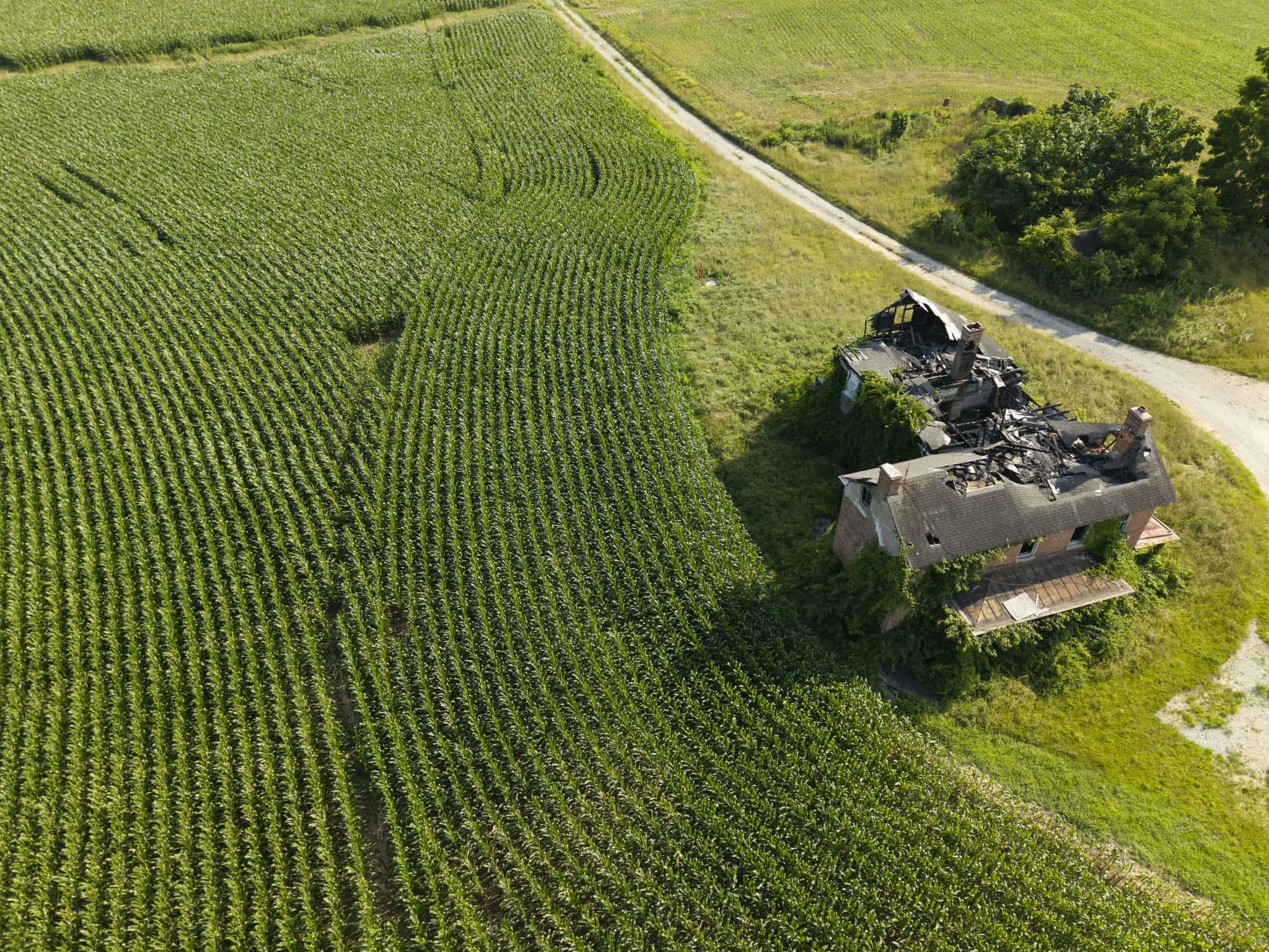
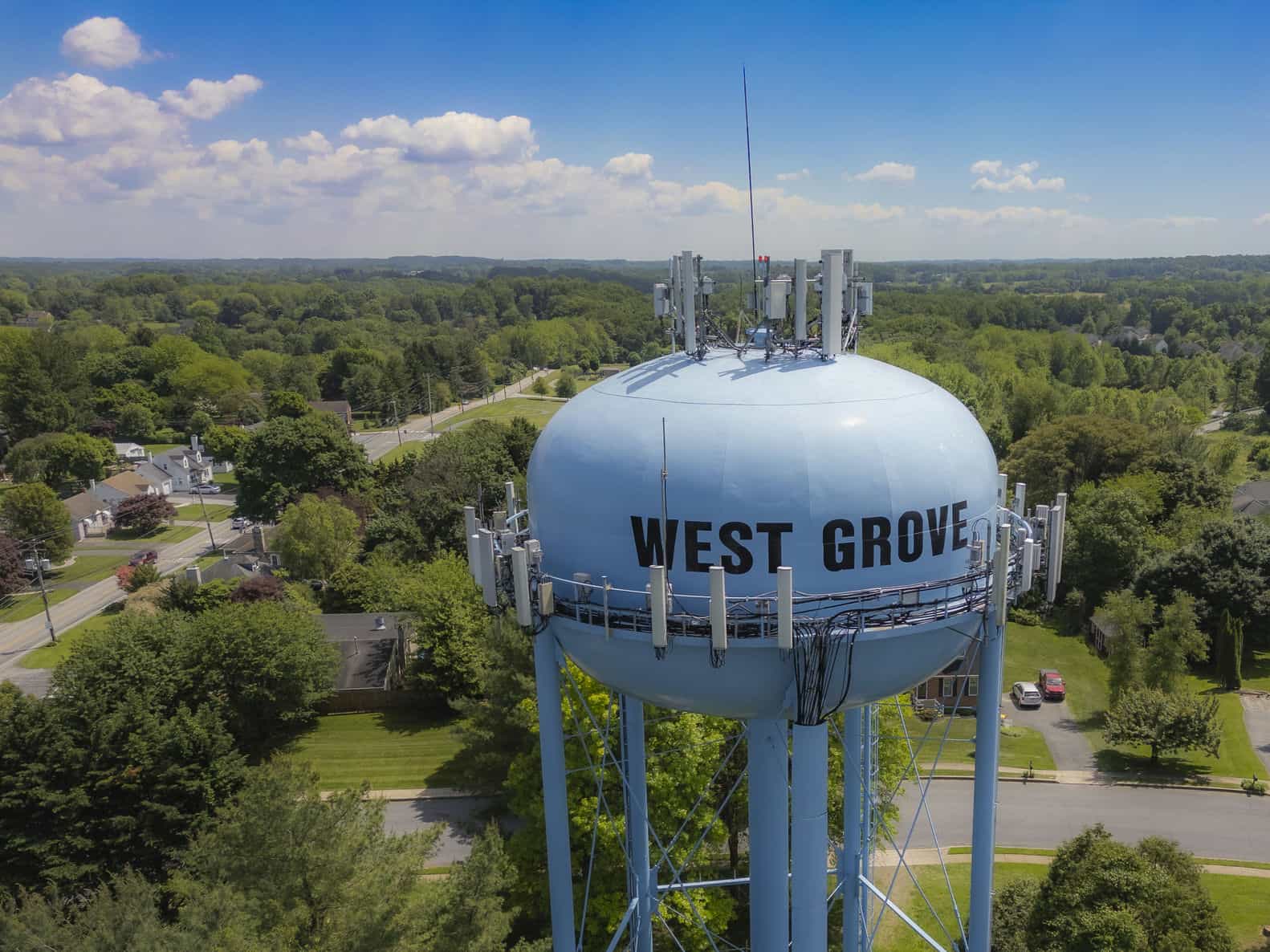
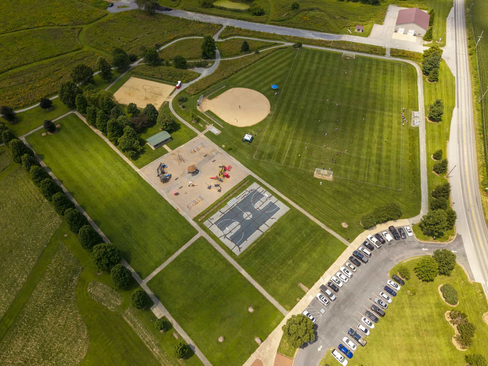
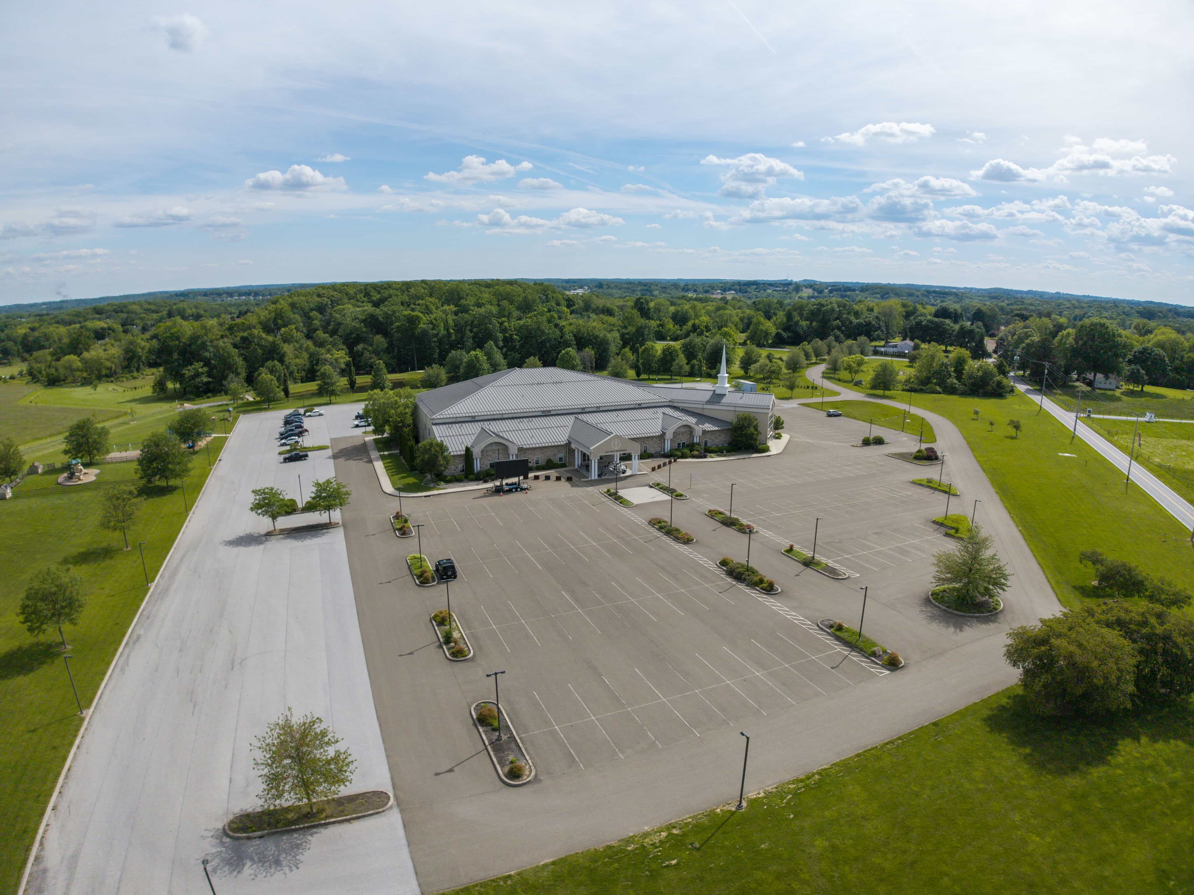
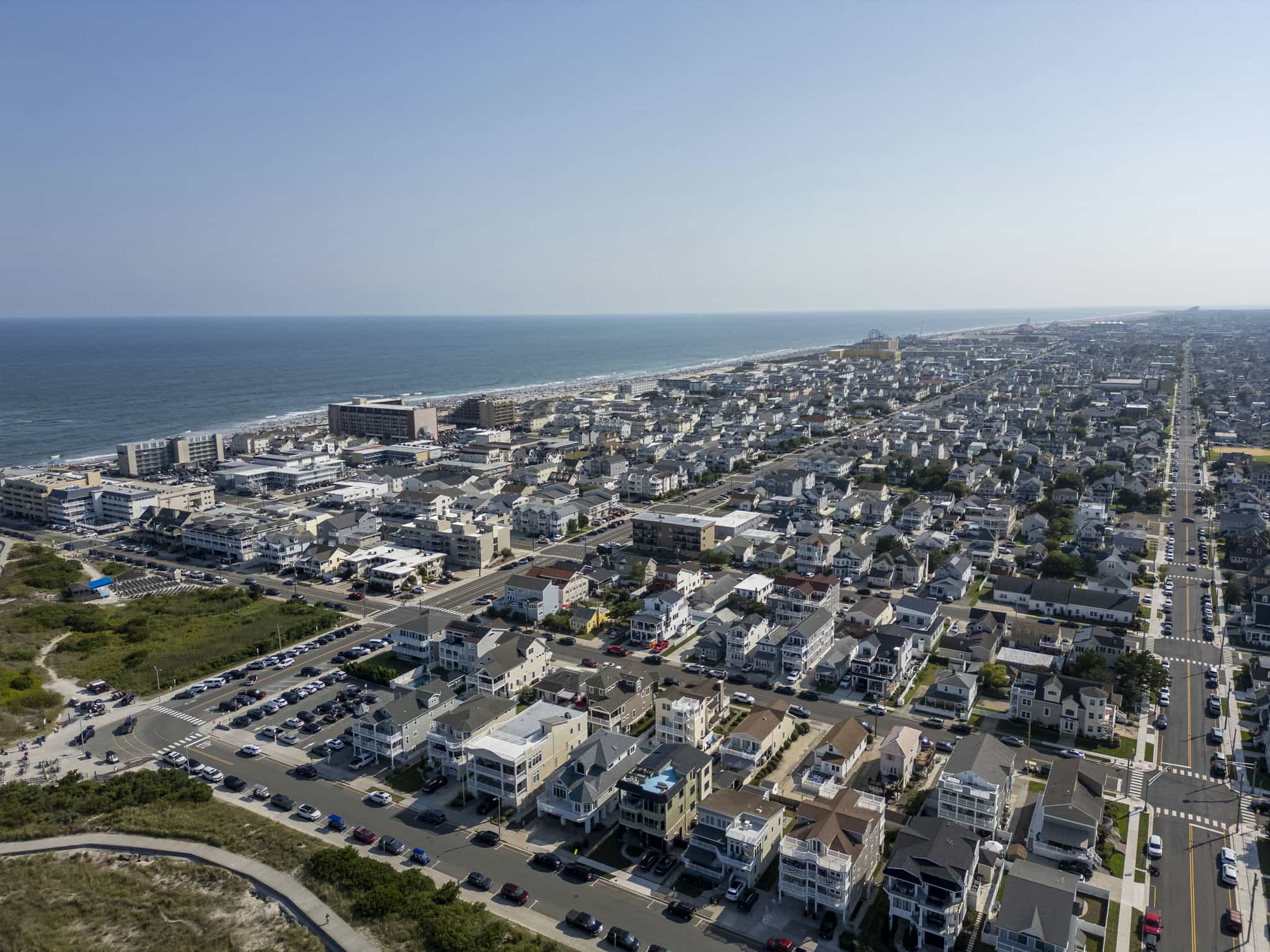
A look at the work
Recent captures across the kinds of projects we fly: property, infrastructure, agriculture, and events, all shot under Part 107.
Trusted across the county
From property owners to township parks, here's what people say about flying with ZigZag.
ZigZag Aerial took a beautiful aerial photo of my apartments in Landenberg, PA. I highly recommend them. The owner is very professional and an experienced drone operator with all the proper licenses and permits.
"People loved seeing our farm from a unique perspective."
"It's a new, neat perspective, and we're extremely happy."
Clear pricing. No surprises.
Every package includes high-resolution capture, basic color editing, and delivery via secure download. Custom and large-scale work is quoted on request.
Single-property photo & video for homeowners and listing agents.
Choice
1 hour on-site · great for photos
- 6 high-resolution aerial photos
- Basic color editing & cropping
- 30-second flyover demo clip
- 5-business-day delivery
Premium
1 hour on-site · video-focused
- 2-3 minute edited aerial video
- Multiple angles & altitudes
- Color editing, cuts & transitions
- 7-business-day delivery
Ultimate
1.5 hours on-site · photo + video
- 12-15 high-resolution photos
- 2-4 minute 4K edited video
- Color grading & scene cuts
- Multiple angles & altitudes
- 7-business-day delivery
Recurring, matched-perspective documentation for builders, developers, and project managers.
Progress Choice
6 visits · ~$295 per visit
- 6 scheduled site visits
- 8-10 stills per visit
- Matched-perspective waypoints
- Time-stamped, sequenced delivery
Progress Select
8 visits · ~$285 per visit
- 8 scheduled site visits
- 8-10 stills per visit
- Matched-perspective waypoints
- Time-stamped, sequenced delivery
Progress Premium
12 visits · ~$267 per visit
- 12 scheduled site visits
- 8-10 stills per visit
- Full ground-break to C/O cycle
- Time-stamped, sequenced delivery
Travel is free within 25 miles of Landenberg, PA; $1.25/mile beyond. All prices valid 90 days from quote.
Aerial excellence, delivered locally
ZigZag Aerial LLC is a drone photography and videography company serving real estate agents, builders, farmers, and event organizers across southern Chester County, Pennsylvania.
Every project is flown by an FAA Part 107-certified pilot and backed by $1M in commercial liability insurance. We're not a national franchise dispatching whoever's nearby. We live and work here, and we know the light, the land, and the airspace.
Great aerial imagery isn't just a higher camera. It's knowing what angle sells a property, what view tells a project's story, and what detail an inspection can't miss.
Ready to take flight?
Tell me about your project and I'll get back to you with a quote, usually within one business day.